Drone surveys · Basic plan
Drone survey reports with the evidence and the findings in one PDF
Turn a drone flight into a client-ready report: compliance evidence, methodology, a RAG defect register and numbered photo pages. From £14.99 a month.
What the report includes
A drone survey report has to satisfy two readers at once: the client, who wants to know what the aerial photos found, and anyone who later asks how the flight was conducted. The drone survey template in Report Kit 360 opens with the compliance evidence and methodology, then moves to the findings. Operator and flyer details, the category or authorisation flown, insurance and the flight log sit in their own section, so they are complete without crowding the results. The RAG defect register and photo pages use the same annotation studio as every other template: numbered markers with ratings, fault types and tags, cross-referenced to a fault index. The output is a numbered PDF with a share link, and the map block on Pro places findings on an OpenStreetMap view.
- Cover and document control: Client, site, flight date, pilot and report reference from tokens, with the issue table.
- Compliance evidence: Operator and flyer identification, the category or operational authorisation under which the flight took place, insurance details, airspace and permissions.
- Methodology: Aircraft and sensor, flight plan, altitude, ground sample distance, weather and limitations.
- RAG defect register: A findings schedule with element, location, rating, photo reference, action and timescale.
- Photo pages: Aerial photos with numbered markers, each with rating, fault type, tags and a Defect / Risk / Recommendation note.
- Fault index and appendices: Every finding listed worst first, with room for a flight log or orthomosaic as an imported PDF (3 pages on Basic, unlimited on Pro).
Template: Drone survey (Basic). Alternatives: Roof and facade RAG survey (Basic), Volumetric stockpile survey (Pro). For roof and facade work with many sections, the roof and facade RAG template with its optional drone flight appendix may suit better.
Why drone surveys teams use Report Kit 360
Compliance evidence in its place
The template gives the flight details their own section with required fields, so the evidence is complete without burying the findings.
One annotation studio for every job
Markers, ratings, fault types and tags work the same on an aerial photo as on a ground photo, and fault numbers run automatically.
Big photo sets, handled
Chunked uploads with retries, a photo page per image on request, and background PDF rendering for reports with more than 25 photos.
Maps and measurements on Pro
The map block captures an OpenStreetMap view with markers; measurement markers and formula tables add dimensions and totals.
How it works
Create the report from the drone survey template
Enter the flight details in the Report panel; required fields are flagged by the checks.
Upload the aerial photos
Create a photo page per image, ordered by photo time, and mark up each defect.
Complete the defect register
The findings schedule lists each marker with its rating and action. Add timescales and any limitations.
Issue and share
Clear the checks, issue the numbered PDF and send a share link with a password or expiry if the client requires it.
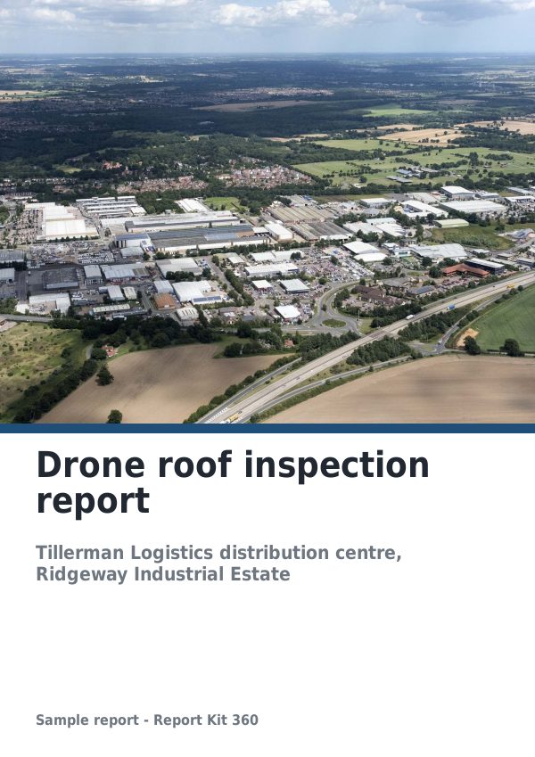
See an example: Drone roof inspection report
A finished report built from the Drone survey template (Basic). Scroll through it below, or download the issued PDF.
This is a fictional sample produced in Report Kit 360 to show the template. The property, people and findings are invented. Photographs are from Wikimedia Commons under licences that permit reuse; see the image credits.
Drone surveys on Basic and Pro
Basic
£14.99 a month
The Drone survey template is included on Basic, with 10 new reports a month and your logo and accent colour on every page.
Pro
£49 a month
Everything in Basic with no monthly report limit, white-label branding, formula tables and the Pro templates.
Downgrades take effect at the end of the paid period and nothing is deleted.
Frequently asked questions
Does Report Kit 360 check that my flight was legal?
No. The template records the compliance evidence you enter and the checks confirm the required fields are filled. Whether the flight met the CAA’s requirements for your category or authorisation is your responsibility as the operator. Report Kit 360 is not affiliated with the CAA.
Can I include an orthomosaic or a flight log?
Yes. Upload them as a PDF and merge the pages into the report: up to 3 pages in an appendix on Basic, unlimited and anywhere in the report on Pro. Images can also be placed as plain image blocks.
Which plan do drone operators need?
The drone survey and roof and facade RAG templates are on Basic, with 10 new reports a month. Pro adds the volumetric stockpile template, the map block, measurement markers, formula tables, unlimited reports and white-label.
Can I measure on the photo?
Measurement markers are a Pro marker type. They record a dimension on the annotated photo and appear in the marker table; the scale is yours to set from a known reference.
Your next report, start to finish.
Pick a plan, add your logo, and issue your first report today.