Volumetric surveys · Pro plan
Volumetric survey reports where the totals add up
Methodology with RTK, GCP, GSD and CRS fields, a results formula table for area, cut, fill, net, density and tonnage, and an accuracy statement. On Pro.
What the report includes
A volumetric survey report is a short document with a lot riding on a few numbers. The client wants the volume and tonnage of each stockpile, the method that produced them and an honest statement of accuracy. The volumetric stockpile template in Report Kit 360 keeps those three things together. The methodology section has fields for the positioning method, ground control, ground sample distance and coordinate reference system; the results table is a formula table that takes area, cut, fill and density for each pile and calculates net volume, tonnage and the accuracy band, with totals at the foot; and the accuracy statement and limitations sit before the deliverables list. A chart from the results table and a map block showing the pile locations complete the picture.
- Summary: Site, date of capture, number of stockpiles, total volume and tonnage from the results table, and the headline accuracy.
- Methodology: Aircraft and sensor, RTK or PPK positioning, ground control points, ground sample distance, coordinate reference system, base surface and processing software.
- Results (formula table): Per stockpile: material, base method, area, cut, fill, net volume, density, tonnage and ± accuracy, with totals calculated live.
- Accuracy statement: How the stated accuracy was derived from check points, GSD and the base surface assumption.
- Limitations: Occlusions, vegetation, water, toe definition, density assumptions and anything that affects the figures.
- Deliverables: Orthomosaic, surface model, point cloud, contours and the formats supplied, with imported PDF pages for plans.
- Charts, map and photos: A chart of volume by stockpile, a map block with pile locations and annotated aerial photos.
Template: Volumetric stockpile survey (Pro). Alternatives: Drone survey (Basic), Generic technical report (Basic). The results table uses the tonnage preset (net volume × density). Named ranges feed the summary and the chart.
Why volumetric surveys teams use Report Kit 360
Tonnage and totals calculate as you type
Enter net volume and density and the tonnage, the accuracy band and the totals update. Change a density assumption and every dependent figure follows.
The method is recorded in full
Required fields for positioning, ground control, GSD and CRS mean the methodology is complete before the checks let you issue.
Results you can export
Pro exports the results table as CSV or XLSX for the client's own records, alongside the issued PDF.
Context on the page
The chart block draws volume by stockpile from the table, and the map block places the piles on an OpenStreetMap view.
How it works
Create the report and record the methodology
Fill the capture and processing fields. Import the ground control report as PDF pages if you have one.
Enter the results per stockpile
Area, cut, fill and density; net volume, tonnage and accuracy calculate. Totals appear at the foot.
State accuracy and limitations
Describe the check points and assumptions. Add the chart and the map.
Check, issue and share
Clear the checks, issue the numbered PDF and share it with a link the client can open on site.
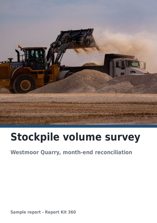
See an example: Stockpile volume survey
A finished report built from the Volumetric stockpile survey template (Pro). Scroll through it below, or download the issued PDF.
This is a fictional sample produced in Report Kit 360 to show the template. The property, people and findings are invented. Photographs are from Wikimedia Commons under licences that permit reuse; see the image credits.
Volumetric surveys on Basic and Pro
Basic
£14.99 a month
Not included. The Volumetric stockpile survey template is a Pro template. Basic workspaces can use: Drone survey (Basic), Generic technical report (Basic).
Pro
£49 a month
The Volumetric stockpile survey template with unlimited reports, formula tables, white-label branding and every other Pro block.
Downgrades take effect at the end of the paid period and nothing is deleted.
Frequently asked questions
Does Report Kit 360 calculate volumes from my point cloud?
No. Volumes are calculated in your photogrammetry or survey software. Report Kit 360 takes the figures you enter and does the downstream arithmetic: net volume, tonnage from density, accuracy bands and totals, with the method and limitations recorded beside them.
Can I report earthworks cut and fill rather than stockpiles?
Yes. The results table has cut and fill columns and the net is calculated. Rename the rows to zones or chainages and save the adjusted structure as your own template.
Why is this template Pro only?
It depends on formula tables, calculated fields and the chart and map blocks, which are Pro. Basic workspaces can report volumes in a static table inside the drone survey or generic technical template.
Which formats can the client receive?
The issued PDF through a share link on every plan. Pro adds DOCX, CSV, XLSX and JSON exports and lets you switch download off on a link if the client should view only.
Related pages
Your next report, start to finish.
Pick a plan, add your logo, and issue your first report today.